
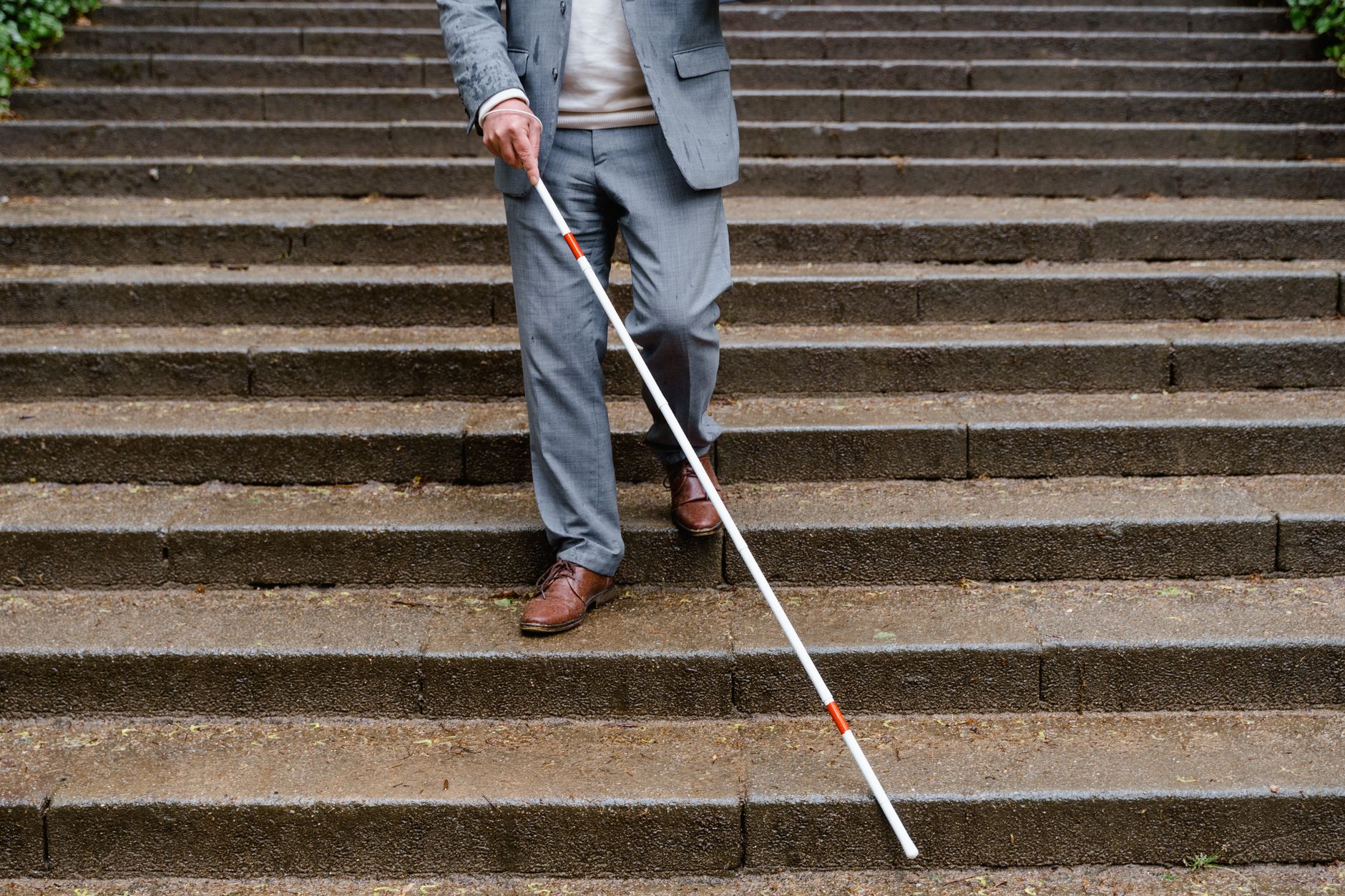
Engineers at Harvard University have introduced a new application designed to improve outdoor mobility for those with limited vision. The tool, called Mobilio, utilizes a smartphone’s camera and sensors to provide real‑time navigation and obstacle detection. The researchers, Raymond Liu and Patrick Slade, both PhDs based at Harvard, published their findings in the journal Nature Biomedical Engineering.
Designing for the User Experience
The development process began with input from 112 individuals who have blindness or moderate‑to‑severe visual impairment. The team surveyed this group to identify unmet needs in existing solutions. Participants asked for turn‑by‑turn directions, path guidance, and reliable obstacle detection.
They noted that current aids—white canes, guide dogs, and electronic devices—often fall short on at least one of these functions or are prohibitively expensive.
A white cane is inexpensive but only conveys information up to its length. Guide dogs excel at detecting obstacles and leading routes, yet they cannot provide directional instructions. Only about two percent of the visually impaired population uses guide dogs because training and care costs are high. Electronic travel aids exist, but most handle either directions or obstacle avoidance, rarely both, and often lack accessibility.
Related: New Pill Targets Energy to Fight Obesity
How the System Works
Mobilio bridges these gaps by combining computer vision with machine learning. The app runs on the smartphone’s built‑in camera, GPS, and an inertial measurement unit that tracks motion and orientation, allowing the phone to understand how the user moves relative to the environment.
The camera, mounted on the chest, “sees” the pathway ahead. By processing visual data, the app identifies hazards and generates audio cues to guide the user safely around them. An optional LiDAR sensor adds depth perception, which helps in poorly lit or complex spaces.
Testing the Navigation System
Liu and Slade evaluated Mobilio against the combination of Google Maps and a standard white cane. In one trial involving 14 participants traveling a path, the Mobilio group finished the route in 13 percent less time than those relying on Google Maps alone.
In a separate obstacle‑course test, the Mobilio users experienced 41 percent fewer contacts with obstacles compared with the Google Maps group.
Participants praised its ease of use.
Related: Ancient Snake Brain Shows Unexpected Evolutionary Twist
Feedback highlighted that the interface felt intuitive, translating complex visual data into clear audio cues without overwhelming the user.
Future Directions and Personalization
The study shows that personalized settings are necessary for effective use. Varied audio parameters reflected the heterogeneous needs of participants, indicating that assistive technology must adapt to diverse populations.
“Having actual people test out your device is absolutely essential because it’s impossible to predict how somebody will react,” said Liu.
The engineers plan to expand testing to more environments to see how well the system integrates into daily life. The goal is to refine performance under different lighting conditions, terrain types, and urban layouts, creating a tool that remains functional and comfortable for long‑term use.


Leave a Reply